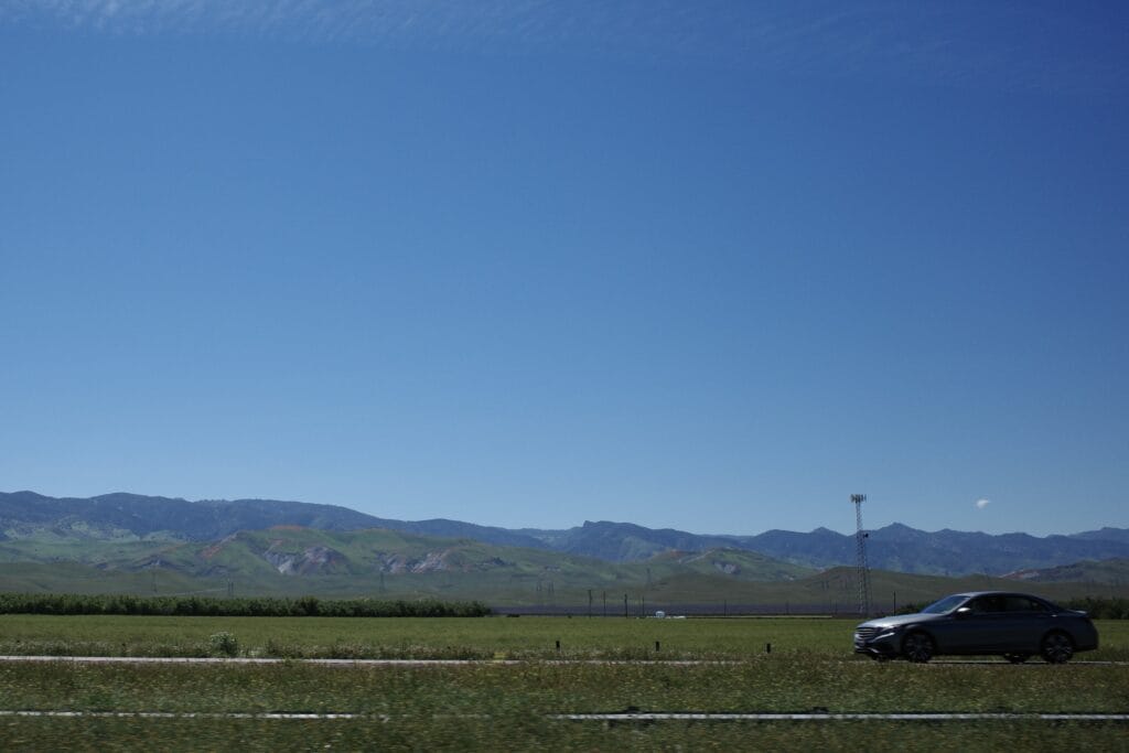
Car on Highway 5 with splotches of color on green hills (photo: James Barcelona)
After the last “atmospheric river” dumped feet of snow and inches of rain in California, national media attention focused on the the return of Tulare Lake, a “ghost” lake not seen in more than 100 years! As if snow on Mt. Diablo, Mt. Hamilton, Mt. Tam, and East Bay hills wasn’t spectacular enough making the Bay Area look more like Denver, or any metropolis with snow caps nearby.
I was curious about what exactly this ghost lake looked like this weekend, so I journeyed by car (don’t judge me) to see it for myself, so you don’t have to. All I can say is that it was not fun driving back on the 5. Straight lines like the 5 are oh so boring to drive. Moreover, in the back of my mind was the thought that the whole area is a disaster in the making for the town of Corcoran which might be facing catastrophic flooding.
In the age of Google, I thought, “Hey, I’ll just type in Tulare Lake, and I’ll find it.” This couldn’t be further from the truth. The four hour drive down was quite routine – thank God, for Spotify! But as you get 30 or so miles away from Avenal, the “half way point between SF and LA,” the hills are blooming was the craziest colors: pinks, yellows, oranges, reds, and lavenders. Flowers are blooming in those green hills! Those hills are normally a straw, yellow, or the “gold” color where California might’ve gotten its moniker, “The Golden State.”
As you approach the pin drop that Google mistakenly indicates as Tulare Lake, you know something’s wrong the moment your car hits a dirt road that no doubt becomes a muddy impassable mess with a little rain. Don’t drive here unless you have four wheel drive and a plan to get out if you get stuck in mud. Don’t trust Google this time. I turned around the moment I spotted mud a few hundred feet away. Better safe than sorry, but I didn’t want to give up so soon and after driving so far.
My second option was to try going straight to Corcoran and see if I run into the flood waters that are the burgeoning Tulare Lake. This was the ticket. I got back on asphalt and got Google Maps to give me the directions to Corcoran.
The trick for finding Tulare Lake: If you drive south of Stratford between Highway 41 and 43 you’ll eventually run into it.
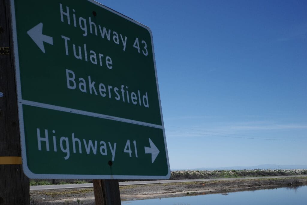
The best way to find Tulare Lake is to head south from Stratford between Highway 41 & 43 (photo: James Barcelona)
You’ll find a large expanse of water and think this is it, but no, according to satellite data, it’s just a splotch of water on a satellite map. There are many such flooded splotches that are Tulare Lake. Yours truly, tried to come in from the west and ran into dirt roads that soon turned into muddy roads. By coming in from the north, I ran into one of those tiny splotches of water below. It sure did look huge to me, and will probably flood the road I came in soon.
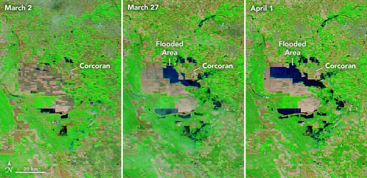
Satellite Maps, Tulare Lake, 3/2, 3/27, 4/1 (photo: NASA)
Head south of Kansas Avenue and you’ll hit an even bigger expanse of water.
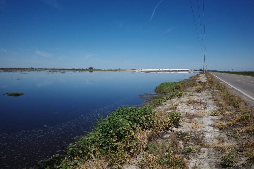
Part of the ghost lake, Tulare Lake, that nobody’s seen in generations! (photo: James Barcelona)
If you’re worried it might stink like a swamp, it doesn’t. Only the cows are the big stinkers in this part of California. This trip was semi-enjoyable, especially the town of Corcoran, which sports a brewery on Whatley Avenue. Unfortunately, I’m doing a fast on a lark this April, so I didn’t try anything at the brewery. The beers a-pouring and the happy faces chowing down sure did make me hungry though.
If you walk down Whatley Avenue during the day, country music is blaring on loudspeakers. I’ve never been to a town that’s done that before and barely anybody is walking on the streets. Anyway, I hope this town hope survives the melting snow and doesn’t get flooded again. The SF Chronicle has an article that is alarming and gives a dire warning about flooding. If you do drive there, one big warning: disaster might strike – a broken levee, or a huge snow melt that could send water barreling down. So definitely follow signs, and know that if you go here, it’s the whole “Kids don’t do this at home” warning that should be foremost in your mind.
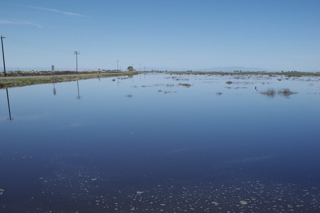
One of the “small” pools making up Tulare Lake in 2023 (photo: James Barcelona)
The post I Went to the Tulare “Ghost Lake” So You Don’t Have To appeared first on Broke-Ass Stuart's Website.


